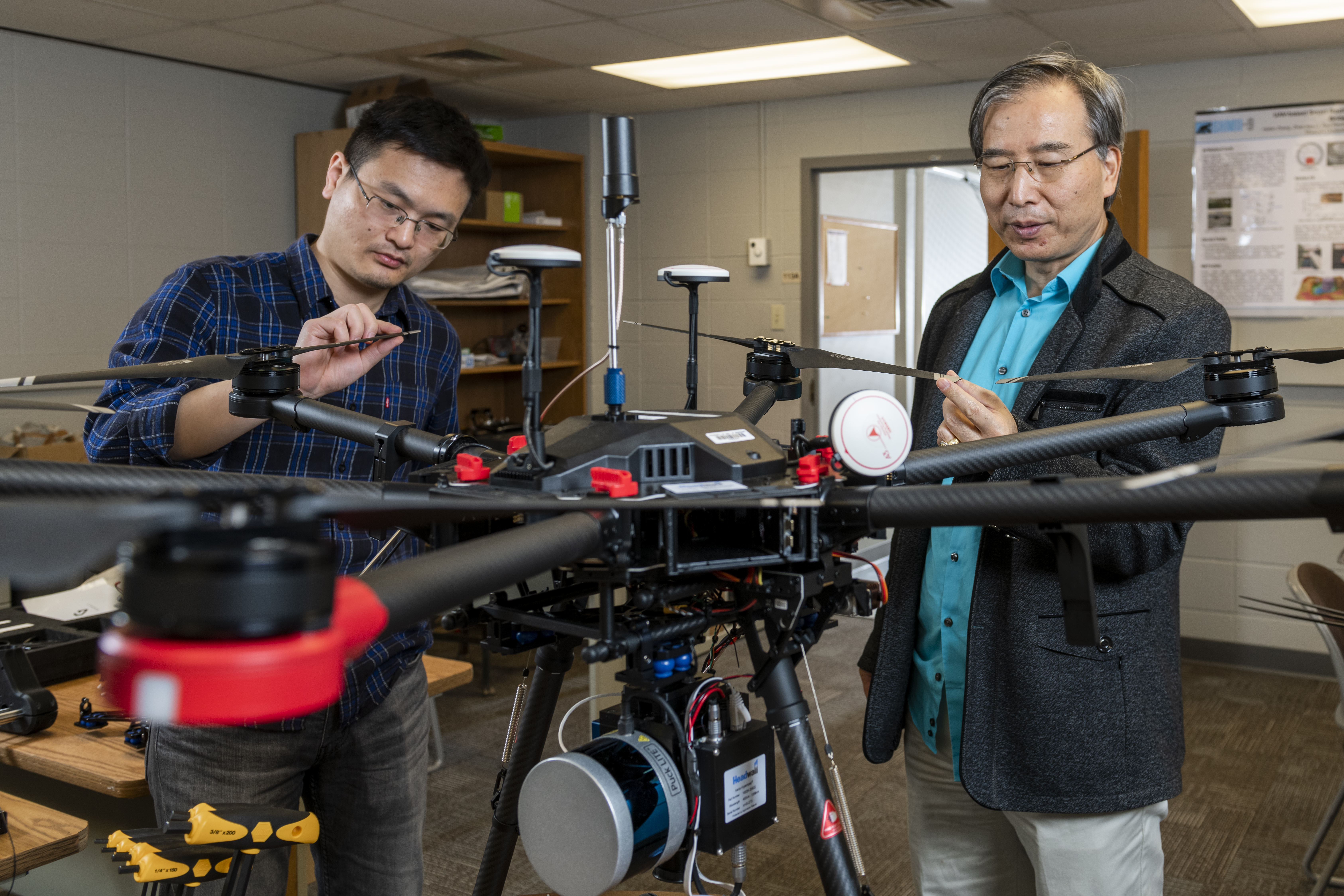
Powering the Future of Geospatial Innovation
The Missouri Geoplex brings together drones, artificial intelligence, and geospatial engineering to advance next-generation air, space, ground, and sea mobility, infrastructure, agriculture, and smart communities. A Statewide Geospatial Initiative for Missouri, led by Missouri S&T. Positioning Missouri as a national leader in geospatial engineering and mobility systems.
Our Services

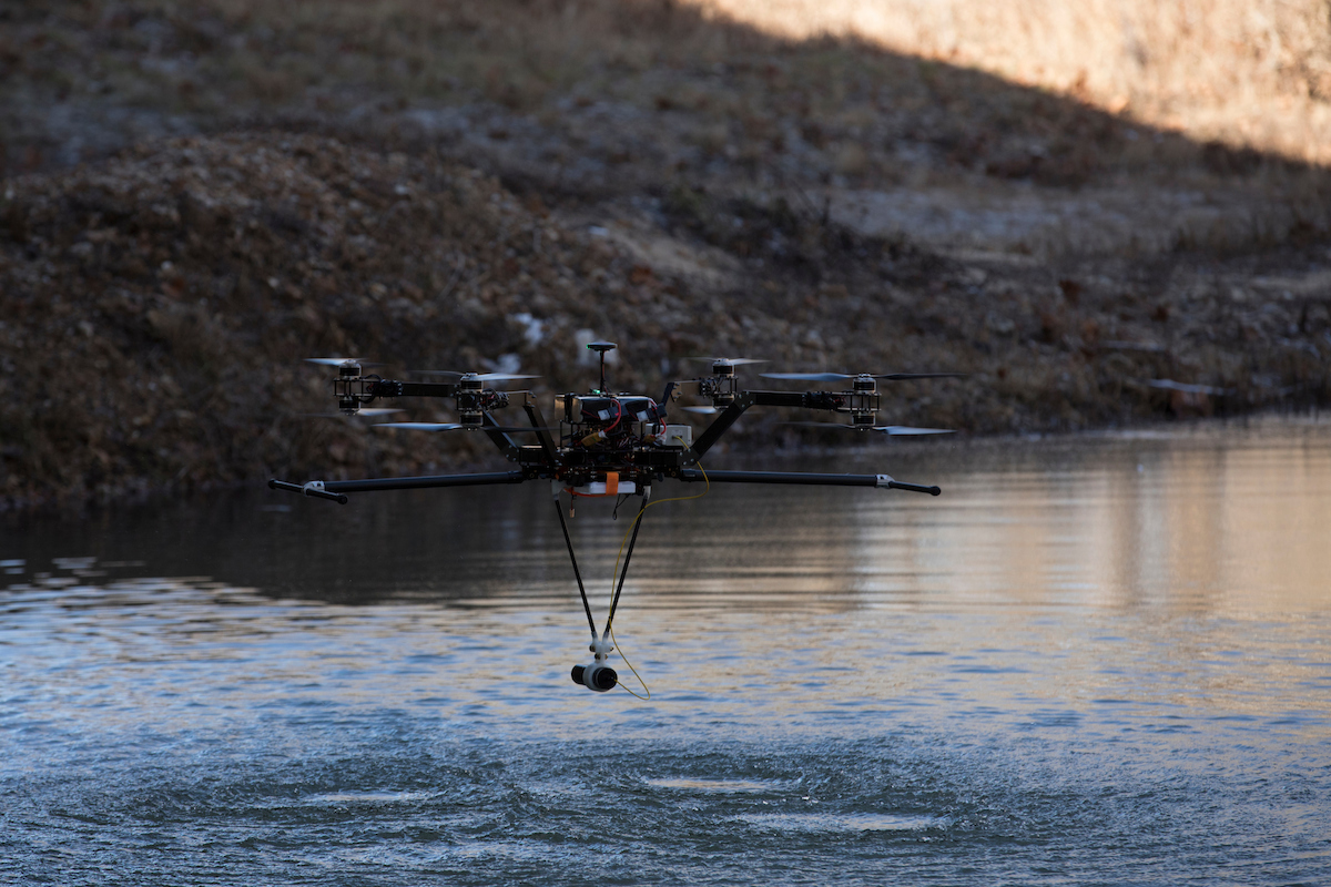
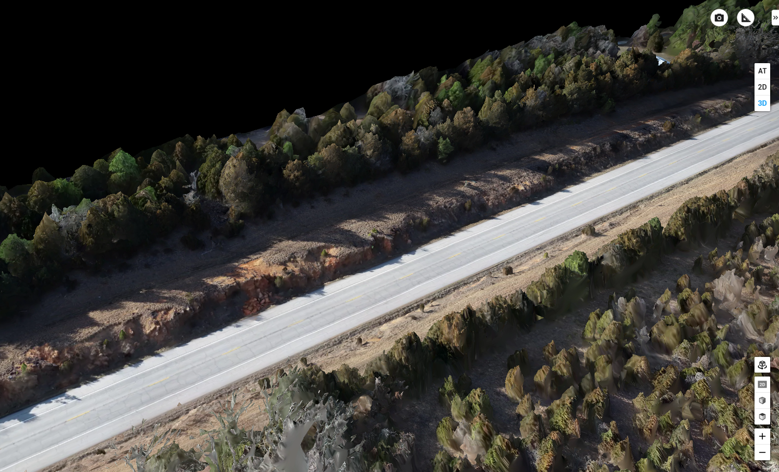
Technology Development
Transform ideas into geospatial solutions through AI, autonomous systems, remote sensing, and advanced engineering

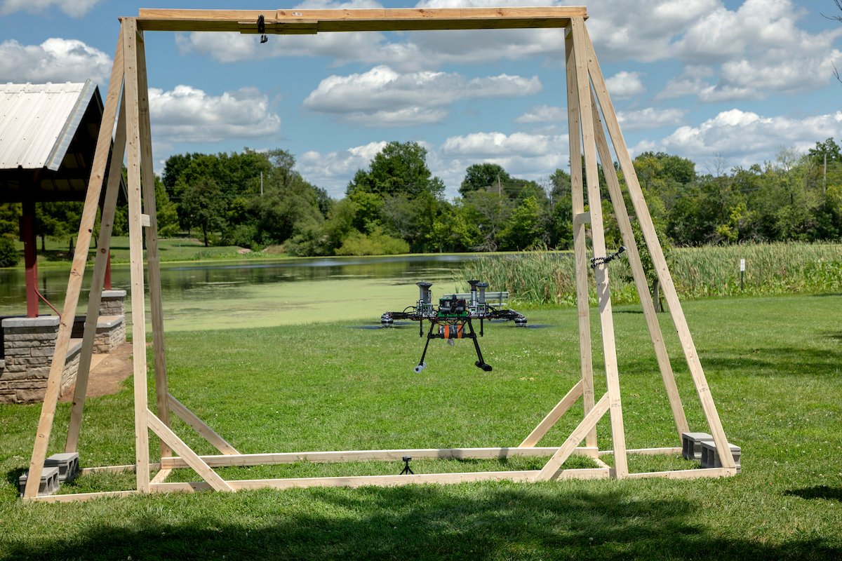
Testing & Validation
Evaluate emerging technologies in controlled and real-world environments to improve performance, reliability, and readiness

Education & Workforce Development
Develop the next generation of geospatial professionals through graduate education, professional training, and K–12 outreach
Explore the Geoplex
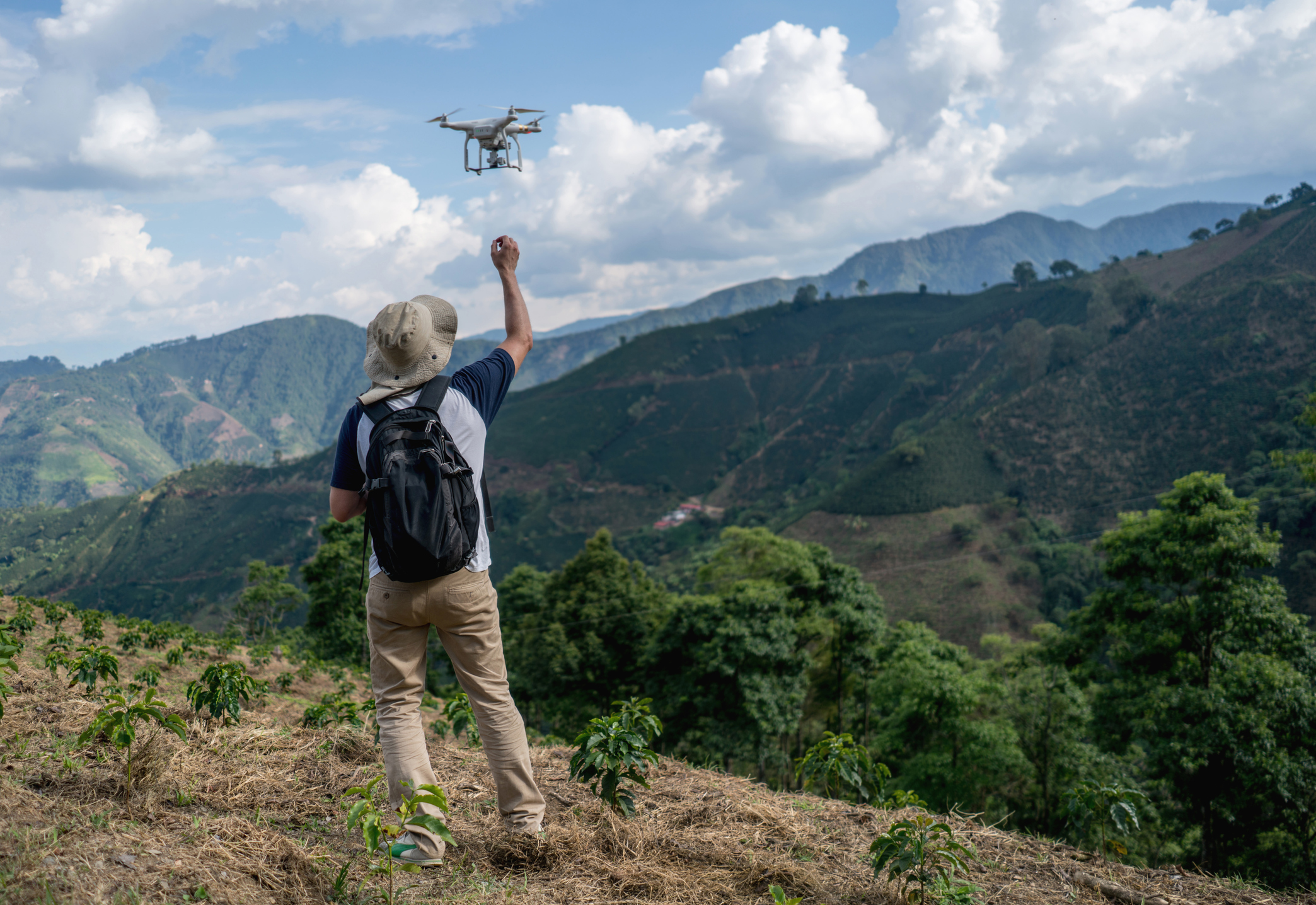
.jpg)
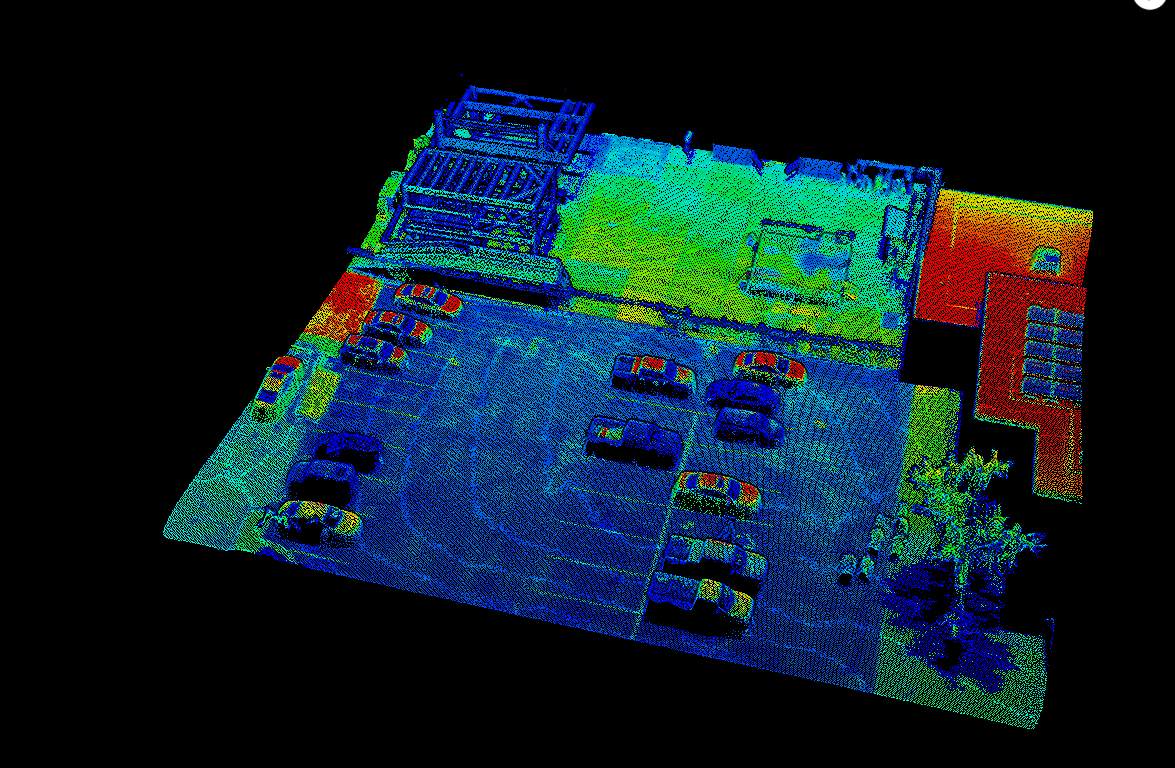
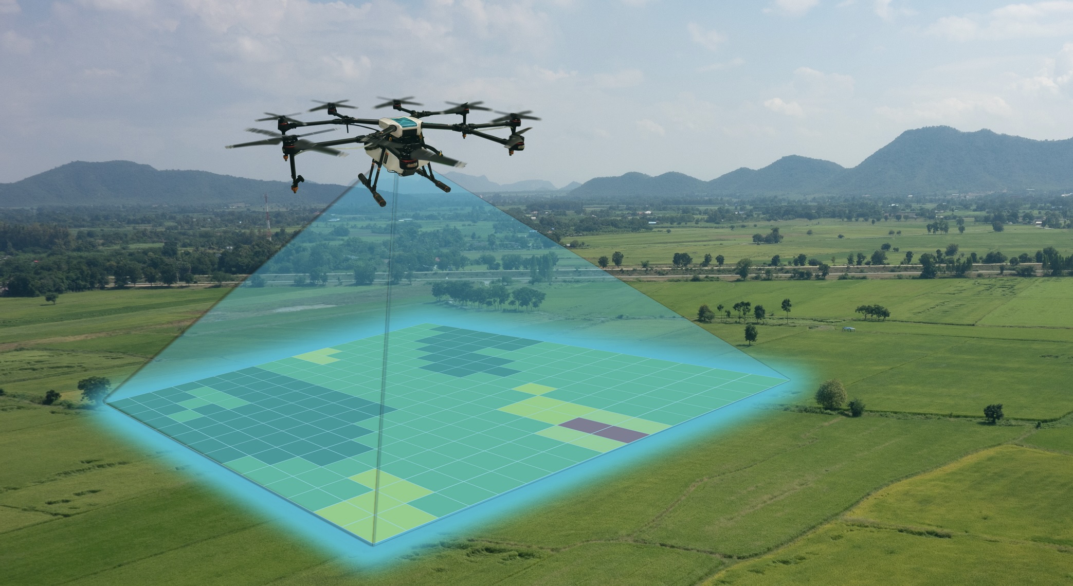
.png)
Connect & Collaborate
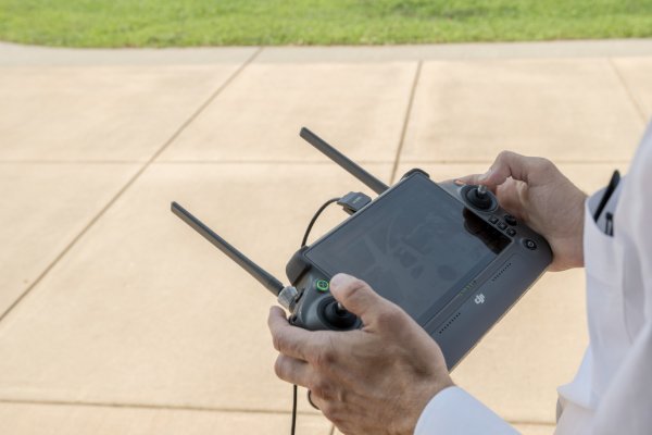
Partner with Geoplex
Collaborate with a network of agencies, industry leaders, startups, and research organizations advancing geospatial innovation.
Get Involved
Bring Your Vision to Life
Whether you're exploring new technologies, expanding geospatial capabilities, or tackling challenges, Geoplex provides the expertise and resources to help you move forward.